Old Maps of the UK & Ireland
8,000+ reviewsreviews
Made in Canada Free 2-3 day delivery90-day returnsCarefully packagedFree delivery90-day returns
 Free 2-3 day delivery90-day returnsCarefully packagedFree delivery90-day returns
Continue where you left off
About these maps
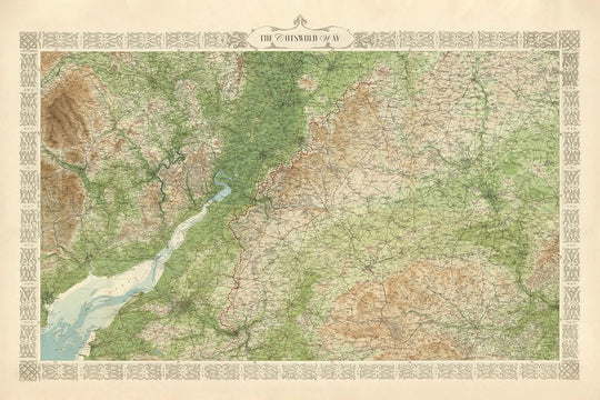
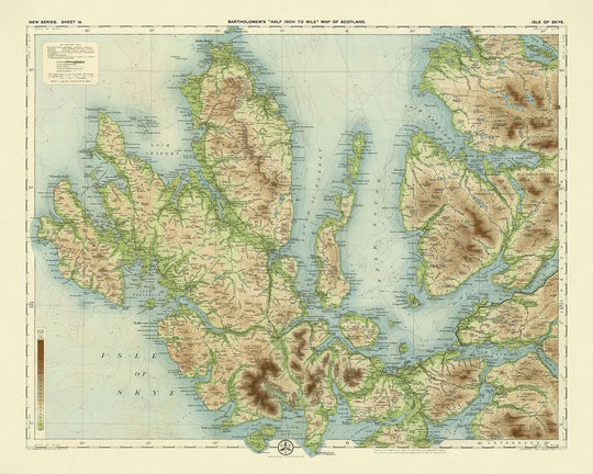
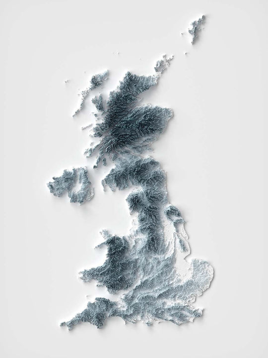
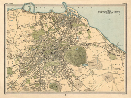
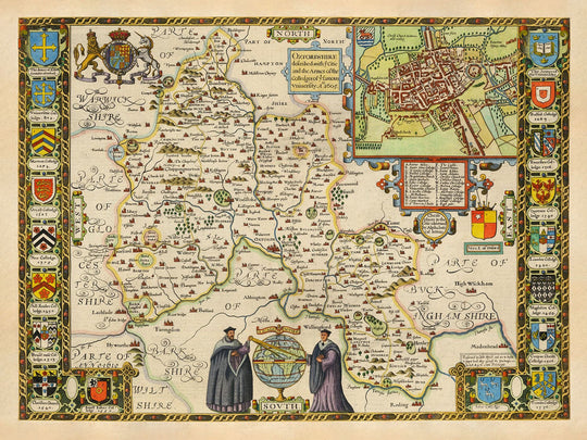
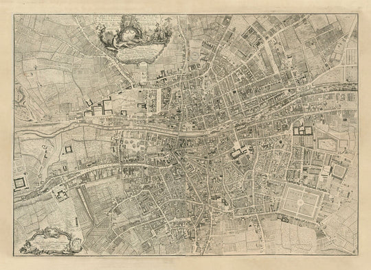
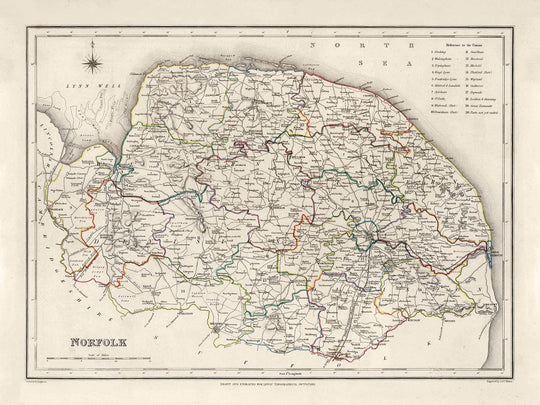
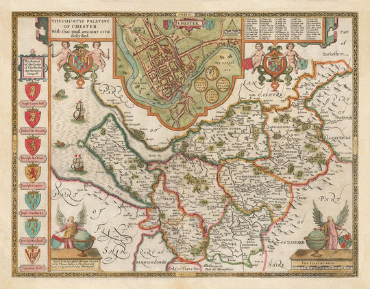
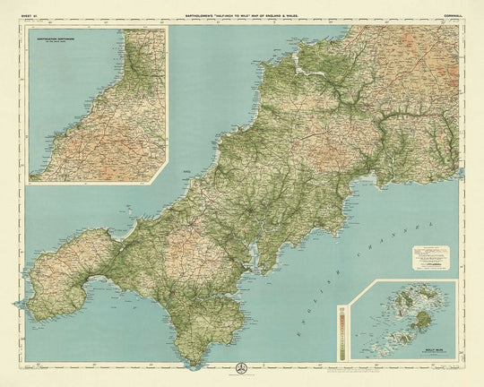
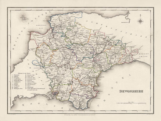
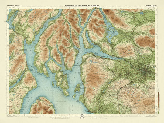
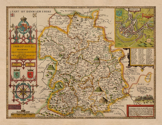
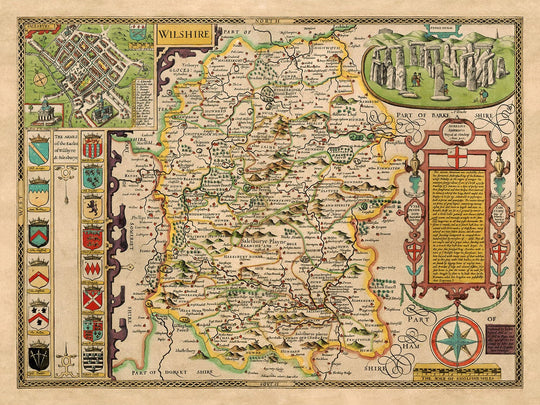
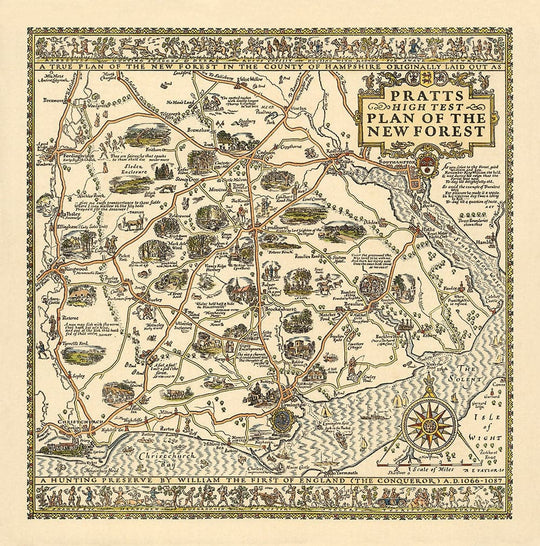
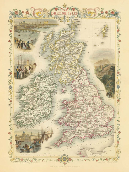
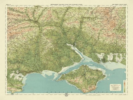
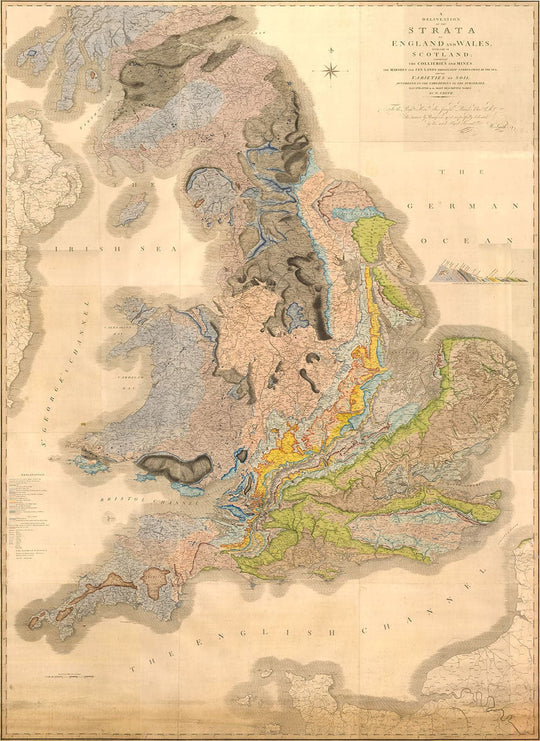
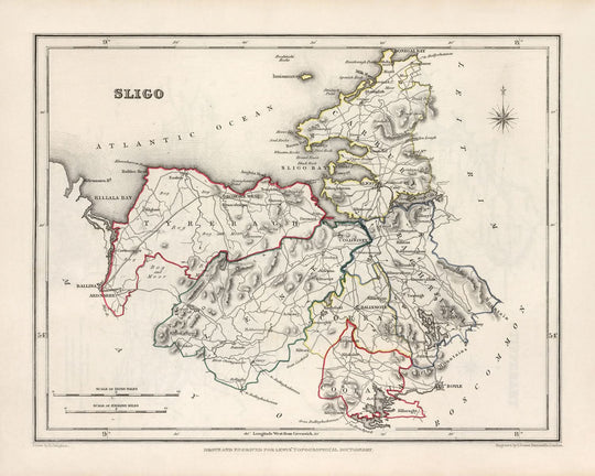
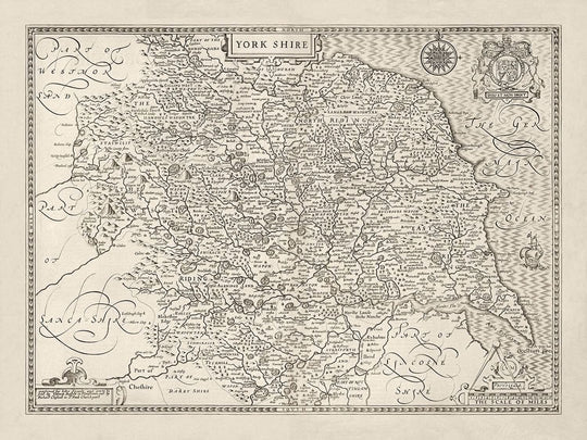
A collection of the finest old, historic maps of the UK (England, Scotland, Wales, Northern Ireland) and Ireland - an area that historically is usually referred to as the British Isles. This is our complete set of UK and Ireland maps - everything from national maps to county maps, city maps and beyond. If you're looking for something specific, click one of the categories below.
Find your place
Your hometown, your family’s roots or a favourite stretch of coast.
Black Friday: 20% off eligible prints and framed art until 27th November.