














Map of Lancaster, Pennsylvania by USGS, 1997: Conestoga River & Millersville
Restaurata nel nostro laboratorio di Londra dalla mappa originale del 2000 e stampata in qualità museale. Descrizione completa
L’offerta del Collezionista
Scegli due opere idonee e ricevi il 20% di sconto su entrambe. Scegline tre e quella al prezzo più basso è in omaggio, con un risparmio massimo del 33%.
Abbina liberamente mappe standard idonee e stampe d’arte fine art. Non è richiesto alcun codice; l’offerta viene applicata automaticamente al checkout.
Sono incluse le configurazioni standard su ordinazione. Sono esclusi formati su misura, design personalizzati e lavori su commissione.
Hai bisogno di consegne a indirizzi diversi? Contattaci prima di effettuare l’ordine.L’offerta del Collezionista
Scegli due opere idonee e ricevi il 20% di sconto su entrambe. Scegline tre e quella al prezzo più basso è in omaggio, con un risparmio massimo del 33%.
Abbina liberamente mappe standard idonee e stampe d’arte fine art. Non è richiesto alcun codice; l’offerta viene applicata automaticamente al checkout.
Sono incluse le configurazioni standard su ordinazione. Sono esclusi formati su misura, design personalizzati e lavori su commissione.
Hai bisogno di consegne a indirizzi diversi? Contattaci prima di effettuare l’ordine. Restaurato a Londra • Stampato e incorniciato in Canada

Restaurata dalla mappa originale del 2000 e stampata in qualità museale. Descrizione completa
Scegli il formato
Scegli la finitura


(Maggiori informazioni)
Gift message & custom finish

If you want to add a gift message, or a finish (jigsaw, aluminium board, etc.) that is not available here, please request it in the "order note" when you check out.
Every order is custom made, so if you need the size adjusted slightly, or printed on an unusual material, just let us know. We've done thousands of custom orders over the years, so there's (almost) nothing we can't manage.
You can also contact us before you order, if you prefer!
Porta a casa un pezzo di storia
Oltre 8.000 recensioni a 5 stelle


Published in 2000 from 1997 survey information, the USGS topographic map titled “Lancaster” presents a finely observed portrait of Lancaster, Pennsylvania, and...
Continua a leggerePublished in 2000 from 1997 survey information, the USGS topographic map titled “Lancaster” presents a finely observed portrait of Lancaster, Pennsylvania, and its surrounding townships at the close of the twentieth century. At 1:24,000 scale, it captures the city not as an abstract place-name but as a living terrain of streets, rail lines, waterways, parks, industrial districts, and residential neighborhoods. The map centers on Lancaster, a city celebrated for its colonial heritage, agricultural hinterland, and proximity to Pennsylvania Dutch and Amish country. Its careful topographic language shows how urban Lancaster sits within a broader landscape of modest hills, stream valleys, transportation corridors, and open spaces, offering a precise geographical snapshot of a region balancing historic character with modern growth.
The United States Geological Survey brought to this map more than a century of institutional expertise in measuring and interpreting the American landscape. Founded in 1879, the USGS became synonymous with rigorous topographic mapping, producing quadrangles that served planners, engineers, conservationists, hikers, and historians alike. In “Lancaster,” that practical precision is given visual elegance through the classic USGS vocabulary of contour lines, color-coded land cover, hydrographic detail, and clearly organized cultural features. Roads such as Manheim Pike, Lititz Pike, West Walnut Street, North Prince Street, and East King Street appear within a wider framework of railways, waterways, township boundaries, and developed areas, making the map both a technical document and an evocative record of place.
The Conestoga River is one of the defining natural features shown, curving through the landscape and helping structure the relationship between Lancaster’s urban core and its surrounding countryside. Its valley, tributaries, and adjacent lowlands are rendered through the map’s contouring and blue hydrographic detail, revealing subtle shifts in elevation that might be invisible from the road. Lancaster County Central Park appears as an important green anchor, preserving open space near the city and suggesting the enduring value of recreation and conservation amid expanding development. Nearby features such as Indian Rock add local texture, reminding the viewer that topographic maps often preserve names and landmarks that carry regional memory as well as geographical meaning.
Beyond the city itself, the map extends into Lancaster Township, East Hempfield Township, West Hempfield Township, and toward Millersville, showing the dense interweaving of municipal, suburban, and rural landscapes. Residential neighborhoods spread outward from Lancaster’s historic grid, while industrial areas and transport corridors mark the economic geography of the late twentieth century. Roadways and railways emphasize Lancaster’s long-standing role as a regional hub, connected to agricultural markets, manufacturing districts, and nearby communities. The surrounding pattern of fields, parks, and built-up zones reflects a period when the pressures of urbanization were increasingly visible, yet still set against the distinctive landforms and settlement patterns of south-central Pennsylvania.
As a historical document, “Lancaster” preserves the geography of the area as it stood in 1997, shortly before another wave of suburban development and infrastructure change reshaped parts of Lancaster County. Its contour lines trace the hills and valleys that have influenced settlement for generations, while its street network records the urban fabric of a city rooted in eighteenth-century planning and nineteenth-century industry. The map’s appeal lies in this fusion of accuracy and atmosphere: it is at once a scientific survey, a civic portrait, and a record of a changing Pennsylvania landscape. For anyone drawn to Lancaster’s history, regional identity, or terrain, it offers a richly detailed view of place at a particular moment in time.
Cities, towns and places on this map
- Lancaster, PA
- Conestoga River
- Manheim Pike
- West Walnut Street
- North Prince Street
- East King Street
- Indian Rock
- Lititz Pike
- Lancaster County Central Park
- Lancaster Township
- Millersville
- East Hempfield Township
- West Hempfield Township
- Industrial areas
- Various residential neighborhoods
- Roadways and railways surrounding Lancaster
- Various parks and open spaces
Historical context & cartographic details
- Produced by the United States Geological Survey (USGS).
- Historical 1:24,000 topographical map of Lancaster, Pennsylvania and the surrounding area.
- Dated 1997 and published with a 2000 imprint.
- Uses color-coding to represent different elevations and land use.
- Includes detailed topographic representation with contour lines to show terrain.
- Shows hills, valleys, and water bodies in the Lancaster area.
- Reflects the geography of the Lancaster area as of 1997.
- Provides a snapshot of urban and rural development before later growth and urbanization.
Looking for a particular place? Review the detailed images to confirm that the town, landmark or feature you have in mind appears on the map. If you are unsure, ask our workshop to check before you order.
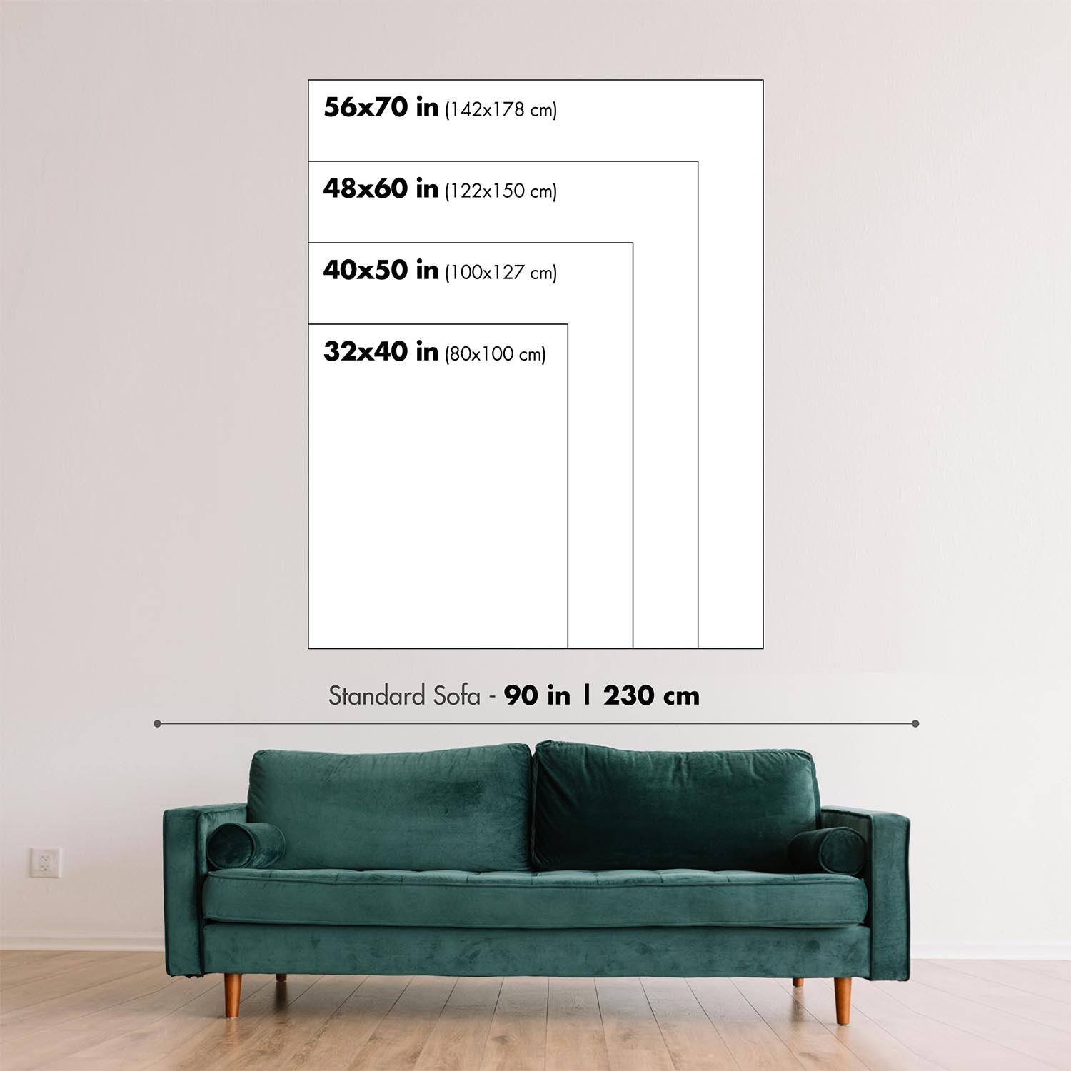
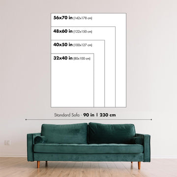
Detailed maps are especially rewarding at larger sizes, where names, boundaries and decorative features have more room to be appreciated. Use the close-up preview and size guide to choose the right scale for your wall.
This map looks amazing at sizes all the way up to 50in (125cm). If you are looking for a larger map, please get in touch.
The model in the listing images is holding the 16x20in (40x50cm) version of this map.
Where personalisation is available, you can add a short title or dedication, mark one meaningful place, or request one considered visual detail. See personalised map examples.
Every piece is printed to museum-grade archival standards using fade-resistant pigment inks on acid-free matte paper. Choose an unframed map print, framed map or canvas using the finish options above. Framed maps use crystal-clear optical acrylic and arrive ready to hang.
With its rich detail and strong sense of place, this map makes a considered gift for a new home, anniversary, retirement or anyone with a personal connection to the area shown. Still deciding? Explore our collection of rare old and vintage maps to discover another place, period or style.
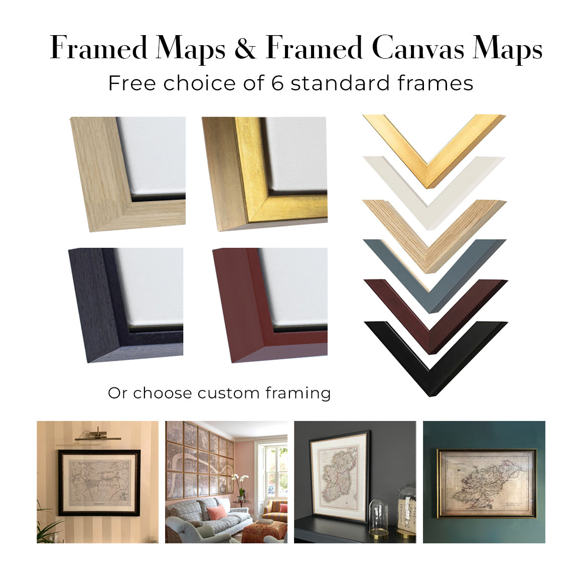
This map is also available as a float framed canvas, sometimes known as a shadow gap framed canvas or canvas floater. The map is printed on artist's cotton canvas and then stretched over a handmade box frame. We then "float" the canvas inside a wooden frame, which is available in a range of colours (black, dark brown, oak, antique gold and white). This is a wonderful way to present a map without glazing in front. See some examples of float framed canvas maps and explore the differences between my different finishes.
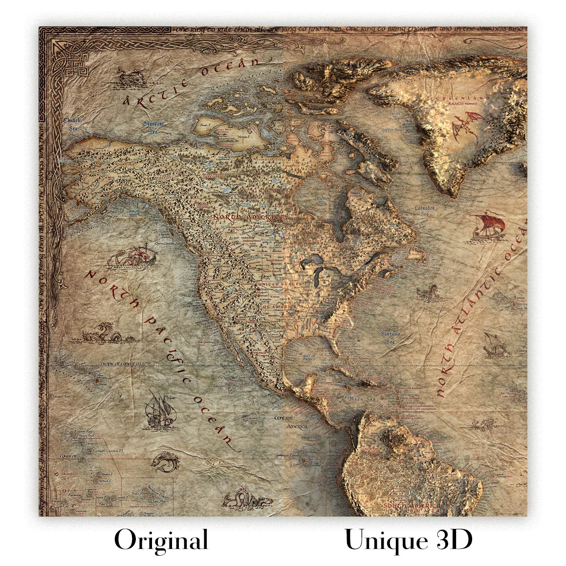
For something truly unique, this map is also available in "Unique 3D", our trademarked process that dramatically transforms the map so that it has a wonderful sense of depth. We combine the original map with detailed topography and elevation data, so that mountains and the terrain really "pop". For more info and examples of 3D maps, check my Unique 3D page.
Published in 2000 from 1997 survey information, the USGS topographic map titled “Lancaster” presents a finely observed portrait of Lancaster, Pennsylvania, and its surrounding townships at the close of the twentieth century. At 1:24,000 scale, it captures the city not as an abstract place-name but as a living terrain of streets, rail lines, waterways, parks, industrial districts, and residential neighborhoods. The map centers on Lancaster, a city celebrated for its colonial heritage, agricultural hinterland, and proximity to Pennsylvania Dutch and Amish country. Its careful topographic language shows how urban Lancaster sits within a broader landscape of modest hills, stream valleys, transportation corridors, and open spaces, offering a precise geographical snapshot of a region balancing historic character with modern growth.
The United States Geological Survey brought to this map more than a century of institutional expertise in measuring and interpreting the American landscape. Founded in 1879, the USGS became synonymous with rigorous topographic mapping, producing quadrangles that served planners, engineers, conservationists, hikers, and historians alike. In “Lancaster,” that practical precision is given visual elegance through the classic USGS vocabulary of contour lines, color-coded land cover, hydrographic detail, and clearly organized cultural features. Roads such as Manheim Pike, Lititz Pike, West Walnut Street, North Prince Street, and East King Street appear within a wider framework of railways, waterways, township boundaries, and developed areas, making the map both a technical document and an evocative record of place.
The Conestoga River is one of the defining natural features shown, curving through the landscape and helping structure the relationship between Lancaster’s urban core and its surrounding countryside. Its valley, tributaries, and adjacent lowlands are rendered through the map’s contouring and blue hydrographic detail, revealing subtle shifts in elevation that might be invisible from the road. Lancaster County Central Park appears as an important green anchor, preserving open space near the city and suggesting the enduring value of recreation and conservation amid expanding development. Nearby features such as Indian Rock add local texture, reminding the viewer that topographic maps often preserve names and landmarks that carry regional memory as well as geographical meaning.
Beyond the city itself, the map extends into Lancaster Township, East Hempfield Township, West Hempfield Township, and toward Millersville, showing the dense interweaving of municipal, suburban, and rural landscapes. Residential neighborhoods spread outward from Lancaster’s historic grid, while industrial areas and transport corridors mark the economic geography of the late twentieth century. Roadways and railways emphasize Lancaster’s long-standing role as a regional hub, connected to agricultural markets, manufacturing districts, and nearby communities. The surrounding pattern of fields, parks, and built-up zones reflects a period when the pressures of urbanization were increasingly visible, yet still set against the distinctive landforms and settlement patterns of south-central Pennsylvania.
As a historical document, “Lancaster” preserves the geography of the area as it stood in 1997, shortly before another wave of suburban development and infrastructure change reshaped parts of Lancaster County. Its contour lines trace the hills and valleys that have influenced settlement for generations, while its street network records the urban fabric of a city rooted in eighteenth-century planning and nineteenth-century industry. The map’s appeal lies in this fusion of accuracy and atmosphere: it is at once a scientific survey, a civic portrait, and a record of a changing Pennsylvania landscape. For anyone drawn to Lancaster’s history, regional identity, or terrain, it offers a richly detailed view of place at a particular moment in time.
Cities, towns and places on this map
- Lancaster, PA
- Conestoga River
- Manheim Pike
- West Walnut Street
- North Prince Street
- East King Street
- Indian Rock
- Lititz Pike
- Lancaster County Central Park
- Lancaster Township
- Millersville
- East Hempfield Township
- West Hempfield Township
- Industrial areas
- Various residential neighborhoods
- Roadways and railways surrounding Lancaster
- Various parks and open spaces
Historical context & cartographic details
- Produced by the United States Geological Survey (USGS).
- Historical 1:24,000 topographical map of Lancaster, Pennsylvania and the surrounding area.
- Dated 1997 and published with a 2000 imprint.
- Uses color-coding to represent different elevations and land use.
- Includes detailed topographic representation with contour lines to show terrain.
- Shows hills, valleys, and water bodies in the Lancaster area.
- Reflects the geography of the Lancaster area as of 1997.
- Provides a snapshot of urban and rural development before later growth and urbanization.
Looking for a particular place? Review the detailed images to confirm that the town, landmark or feature you have in mind appears on the map. If you are unsure, ask our workshop to check before you order.
Detailed maps are especially rewarding at larger sizes, where names, boundaries and decorative features have more room to be appreciated. Use the close-up preview and size guide to choose the right scale for your wall.
This map looks amazing at sizes all the way up to 50in (125cm). If you are looking for a larger map, please get in touch.
The model in the listing images is holding the 16x20in (40x50cm) version of this map.
Where personalisation is available, you can add a short title or dedication, mark one meaningful place, or request one considered visual detail. See personalised map examples.
Every piece is printed to museum-grade archival standards using fade-resistant pigment inks on acid-free matte paper. Choose an unframed map print, framed map or canvas using the finish options above. Framed maps use crystal-clear optical acrylic and arrive ready to hang.
With its rich detail and strong sense of place, this map makes a considered gift for a new home, anniversary, retirement or anyone with a personal connection to the area shown. Still deciding? Explore our collection of rare old and vintage maps to discover another place, period or style.
This map is also available as a float framed canvas, sometimes known as a shadow gap framed canvas or canvas floater. The map is printed on artist's cotton canvas and then stretched over a handmade box frame. We then "float" the canvas inside a wooden frame, which is available in a range of colours (black, dark brown, oak, antique gold and white). This is a wonderful way to present a map without glazing in front. See some examples of float framed canvas maps and explore the differences between my different finishes.
For something truly unique, this map is also available in "Unique 3D", our trademarked process that dramatically transforms the map so that it has a wonderful sense of depth. We combine the original map with detailed topography and elevation data, so that mountains and the terrain really "pop". For more info and examples of 3D maps, check my Unique 3D page.
Molte delle nostre mappe e stampe d’arte vengono scelte come regali premurosi per case, uffici, studi e luoghi significativi.
Scegli un’opzione incorniciata per il regalo più semplice, pronto da appendere, oppure scegli una stampa non incorniciata se il destinatario preferisce selezionare la propria cornice.
Realizziamo gli ordini localmente in 23 paesi in tutto il mondo, così i regali possono spesso essere prodotti vicino al destinatario. Questo li aiuta ad arrivare più rapidamente, a viaggiare in maggiore sicurezza e a evitare sorprese legate a dazi doganali o di importazione.
- Possiamo consegnare direttamente al destinatario
- I pezzi incorniciati arrivano pronti da appendere
- Le stampe non incorniciate sono accuratamente imballate in un robusto tubo protettivo
- Quasi ogni ordine viene realizzato localmente, per regali più rapidi e sicuri
- Il reso entro 90 giorni dà al destinatario il tempo di decidere
Se non sei sicuro di cosa scegliere, ti invitiamo a contattarci. Possiamo aiutarti a scegliere la mappa, il formato, la finitura o l’opzione di consegna più adatti.
Most orders are made locally and delivered in around 2–3 working days, depending on the product, size and destination.
We print and frame maps and artwork in 24 countries around the world, so your order is usually made close to you or your recipient. That means faster delivery, less time in transit, and no customs or import duty surprises.
Personalised and customised pieces usually take an extra 1–2 working days, because we prepare your design and send it to you for approval before printing.
Very large framed orders can take a little longer, as they need extra care in production and delivery.
Every order is carefully packaged: unframed prints are sent in a strong protective tube, while framed pieces are securely packed with protective materials around the frame.
If you need your order by a particular date, please contact us before ordering. We’ll check the best production route and delivery option for your location.
Express delivery is available at checkout for most countries. Next-day delivery is available in the UK, US, Singapore and the UAE.
Your order is covered by our 90-day returns policy and 10-year guarantee.
Our standard frame is a gallery-style black ash hardwood frame, with a simple, modern look. It is approximately 20mm (0.8in) wide. You can also view some lovely customer photos of framed maps and art.
We use super-clear acrylic glazing, also known as Perspex or Acrylite, instead of traditional glass. It is lighter, safer, and has lower reflectivity, giving the artwork a clearer, cleaner appearance.
Six standard frame colours are available at no extra cost: black, dark brown, dark grey, oak, white, and antique gold. Custom framing and mounting/matting is also available for customers looking for something more specific.
Most maps, art prints, and illustrations are also available as a framed canvas. We use matte cotton canvas, stretch it over a sustainably sourced wooden box frame, and then float the piece within a wooden outer frame. The finished result is beautifully presented, with no glazing between you and the artwork.
All frames are supplied ready to hang, with either string or brackets fitted to the back. Very large frames will include heavy-duty hanging plates and/or a mounting baton. If you have any questions, please get in touch.
We can also supply old maps and artwork on canvas, foam board, cotton rag, and other materials.
If you would prefer to frame your map or artwork yourself, please read our size guide before ordering.
Lavoriamo con interior designer, strutture ricettive, professionisti del settore immobiliare, uffici e acquirenti aziendali su singoli pezzi e su progetti coordinati di più ampia portata.
Questa mappa può essere adattata a una particolare parete, stanza o progetto, e il nostro laboratorio può aiutare a coordinare dimensioni, materiale e incorniciatura prima della produzione.
- Dimensioni precise, extra-large e su misura
- Incorniciatura, montaggio e materiali alternativi personalizzati
- Pezzi coordinati per più stanze o sedi
- Personalizzazione della mappa, per evidenziare luoghi importanti o aggiungere dettagli supplementari
- Consulenza su mappa e incorniciatura dal nostro laboratorio
- Produzione locale per progetti in tutto il mondo
Every Unique Maps piece begins with an authentic cartographic source or an original design from our London studio.
For our historic maps, we source rare originals from libraries, archives, auction houses and private collections around the world. We carefully restore each map for print—repairing age-related damage, balancing colour and improving clarity while preserving its original detail, texture and character.
Once restored, the map is prepared for your chosen size and finish. Your piece is then printed and, where selected, framed close to its delivery destination.
Our map prints use acid-free 200gsm archival matte paper and fade-resistant pigment inks, creating a rich, non-glossy finish designed to last. Framed maps use crystal-clear optical acrylic and arrive ready to hang.
Canvas, cotton-rag and other specialist presentations are also available. Learn more about our materials and finishes.
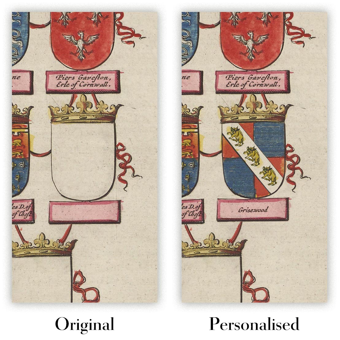
Personalising your map
You can add a short title or dedication, mark one meaningful place, or request one considered visual detail. For personalised designs, we send a proof before printing and you can request changes before approval.
For more complex bespoke commissions, contact our design team.
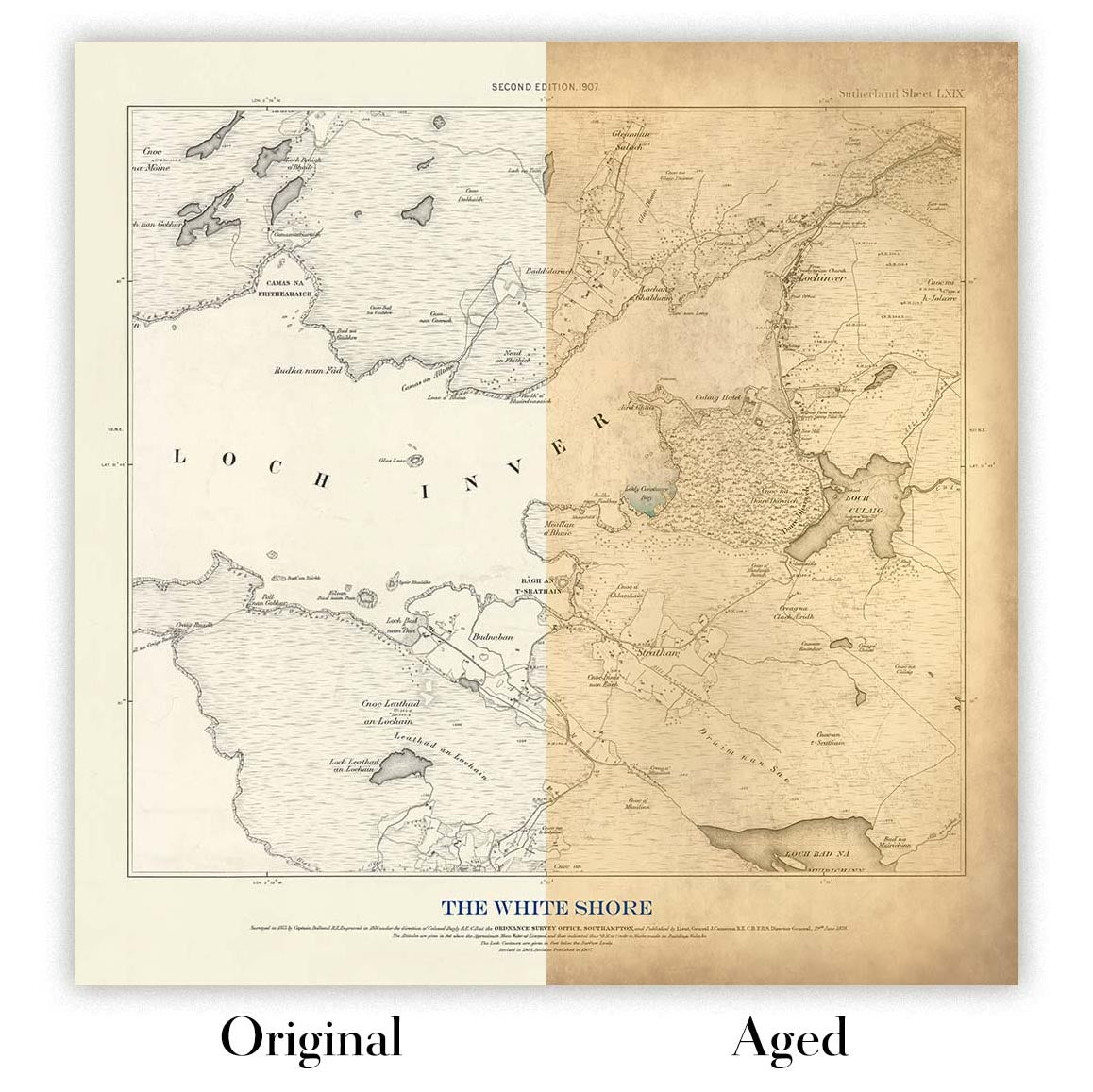
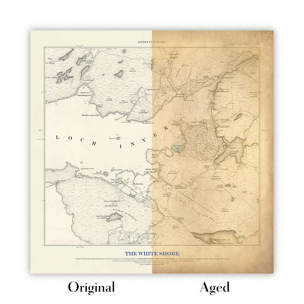
Original or Aged
Choose Original for true-to-source colour, or Aged for a warmer, richer antique character created with our specialist ageing process. See examples of our Aged maps.
Restauriamo e produciamo mappe e stampe d’arte dal 1984, e garantiamo personalmente ogni pezzo.
Ogni ordine è coperto dalla nostra garanzia di 10 anni e dalla garanzia di consegna senza danni. Se il vostro pezzo arriva danneggiato, lo sostituiremo o lo rifaremo gratuitamente. Se qualsiasi altro aspetto non fosse conforme, contattate il nostro team di laboratorio e provvederemo tempestivamente a risolvere il problema.
Per tutti i dettagli, consultate la nostra politica su resi e rimborsi.
Oppure cerca qualcosa nel negozio.


