












Rare Old Topographic Map of Guanajuato, Mexico, 1922: León, Celaya, Irapuato, San Miguel de Allende, Salamanca
Consegna natalizia & regali

Invialo direttamente al destinatario
Aggiungi un messaggio regalo al carrello, quindi inserisci l’indirizzo di consegna del destinatario al checkout. Stamperemo il tuo messaggio su un biglietto. Nel pacco non sono inclusi prezzi.
Tempi di consegna
La consegna standard è gratuita in tutto il mondo e richiede solitamente circa 3 giorni lavorativi. Vuoi inviare un regalo all’estero? Realizziamo la maggior parte degli ordini localmente, nel paese del destinatario.
Per gli ordini personalizzati, prevedi tempi aggiuntivi per la progettazione e l’approvazione della bozza. Consulta i dettagli di consegna.
Resi: Gli ordini standard possono essere restituiti o cambiati entro 90 giorni dalla consegna. Gli articoli personalizzati e realizzati su misura sono generalmente esclusi dai resi per ripensamento. Consulta la nostra politica sui resi.
Saldi del Black Friday
Scegli un articolo e ottieni il 20% di sconto.
Scegli due opere e ricevi il 25% di sconto su entrambe. Puoi abbinare liberamente mappe e stampe d’arte.
Non è richiesto alcun codice. L’offerta viene applicata automaticamente.
Termini e condizioni completi
L’Offerta del Collezionista si applica alle opere idonee nelle configurazioni standard realizzate su ordinazione. Sono esclusi i formati su misura, i design personalizzati e i lavori su commissione. I prodotti con “personalised” o “custom” nel nome sono generalmente esclusi.
L’offerta viene gestita come due sconti automatici separati: uno per i formati più piccoli e uno per i formati più grandi. Per averne diritto, è necessario acquistare due opere idonee all’interno dello stesso gruppo di formato. Mappe e stampe d’arte possono essere liberamente abbinate all’interno di ciascun gruppo.
Ad esempio, due stampe idonee in formato A4 o 8 × 10 in danno diritto al 25% di sconto su entrambe. Una stampa di formato più piccolo e un’opera di formato più grande non danno diritto insieme allo sconto, poiché gli articoli di gruppi di formato diversi non possono essere combinati per soddisfare il requisito dei due articoli.
Non è richiesto alcun codice sconto. Qualsiasi sconto idoneo viene applicato automaticamente nel carrello e al checkout.
Scegli il formato
Scegli la finitura


(Maggiori informazioni)
Gift message & custom finish

If you want to add a gift message, or a finish (jigsaw, aluminium board, etc.) that is not available here, please request it in the "order note" when you check out.
Every order is custom made, so if you need the size adjusted slightly, or printed on an unusual material, just let us know. We've done thousands of custom orders over the years, so there's (almost) nothing we can't manage.
You can also contact us before you order, if you prefer!
- Prodotto in Canada. Consegna sicura
- Arriva perfetto, altrimenti lo sostituiamo
-
Consegna e regali di Natale Consegna natalizia & regali
![Visualizza un esempio a grandezza naturale del biglietto con messaggio regalo stampato]()
Invialo direttamente al destinatario
Aggiungi un messaggio regalo al carrello, quindi inserisci l’indirizzo di consegna del destinatario al checkout. Stamperemo il tuo messaggio su un biglietto. Nel pacco non sono inclusi prezzi.
Tempi di consegna
La consegna standard è gratuita in tutto il mondo e richiede solitamente circa 3 giorni lavorativi. Vuoi inviare un regalo all’estero? Realizziamo la maggior parte degli ordini localmente, nel paese del destinatario.
Per gli ordini personalizzati, prevedi tempi aggiuntivi per la progettazione e l’approvazione della bozza. Consulta i dettagli di consegna.
Resi: Gli ordini standard possono essere restituiti o cambiati entro 90 giorni dalla consegna. Gli articoli personalizzati e realizzati su misura sono generalmente esclusi dai resi per ripensamento. Consulta la nostra politica sui resi.
- Serve aiuto per ordinare?
Porta a casa un pezzo di storia
Oltre 8.000 recensioni a 5 stelle


No. 11: Guanajuato, issued in 1922 by the Dirección de Estudios Geográficos y Climatológicos of the Secretaría de Agricultura y Fomento, is...
Continua a leggereNo. 11: Guanajuato, issued in 1922 by the Dirección de Estudios Geográficos y Climatológicos of the Secretaría de Agricultura y Fomento, is a lucid, modern portrait of one of Mexico’s most storied states. Prepared for the Atlas geográfico de la República Mexicana (1919–1921), the sheet fuses scientific exactitude with quiet artistry: color is deployed to distinguish boundaries and to bathe the shaded relief, while a precise 1:700,000 scale balances sweep and specificity. Roads, railways, rivers, lakes, settlements, and political divisions are all integrated into a single legible field, inviting both planning and reverie. The result is an authoritative synopsis of Guanajuato’s physical backbone and civic fabric at a pivotal national moment, when mapping underwrote modernization and helped knit the highland Bajío more tightly to the Mexican republic.
The project bears the imprint of Mexico’s new technocratic confidence. Chief engineers Ing. Sotero Prieto and Ing. Luciano López Sorcini coordinated the endeavor, aligning cartography with the Directorate’s climatological and agronomic missions. Their team translated field surveys and administrative records into elegant plates, with skilled zincographers—among them Antonio Hernández—ensuring crisp linework and faithful color separation. Within the Secretaría de Agricultura y Fomento, such mapping was more than a visual inventory; it was a tool for land reform, infrastructure investment, and the scientific management of water and soils in the decade after revolution. This Guanajuato sheet embodies that ethic, its measured typographies, calibrated tints, and exact delineations expressing a new standard for national atlases in Latin America, equal parts empirical atlas and emblem of statecraft.
Relief shading articulates the Sierra de Guanajuato and the undulating volcanic highlands that cradle the state, setting in relief the fertile Bajío plain that unfurls toward Irapuato, Celaya, and Salamanca. Hydrography is rendered with the same care: rivers trace purposeful paths—the Lerma along the south, the Laja near San Miguel de Allende, and the Turbio threading past León—converging into basins that have long anchored irrigation and millworks. Lakes and reservoirs punctuate the landscape, their cartographic presence a reminder of seasonal cycles that preoccupied agronomists and engineers alike. The color model subtly grades elevation and demarcation without sacrificing clarity, so watersheds, ridgelines, and passes can be read at a glance. It is a physiographic lesson as much as a map, captured with restraint and precision.
Across this terrain the arteries of movement are plotted with unsentimental candor. Railroads stitch Guanajuato to the national grid, their routes marching through León, Irapuato, Celaya, and Acámbaro, while spurs serve mining towns and agricultural depots. An equally attentive web of roads—major trunks and minor byways—links the capital Guanajuato with San Miguel de Allende, Pénjamo, Salamanca, and a constellation of smaller settlements. Political organization is made immediately legible: municipal boundaries, town seats, and jurisdictional lines nest within the state frontier, clarifying how governance overlays geography. The naming conventions, hierarchies of symbol size, and clean labeling lend navigational utility without crowding the page. Commerce, pilgrimage, and administration are all implied in these itineraries, making visible the lived connectivity of the Bajío in the early twentieth century.
Issued within a series that also featured geological companions, No. 11 invites comparison between landforms and substrata, a dialogue prized by the Directorate’s scientists and by planners anticipating dams, roads, and rail alignments. Modest decorative flourishes and considered color harmonies situate the sheet within the cultured visual language of the Atlas geográfico, while the content nods to Guanajuato’s deeper narratives—silver cities and Franciscan towns, insurgent corridors and market gardens—which the network of rails, roads, and rivers quietly discloses. To study it is to watch cultural heritage mapped onto terrain: colonial cores, modern workshops, and fertile valleys all set against the sienna of high ridges. The page is at once a contemplative panorama and a working instrument, capturing a state in poised transition.
Cities and towns on this map
- Guanajuato (modern-day population approximately 190,000)
- Irapuato (modern-day population approximately 215,000)
- Salamanca (modern-day population approximately 130,000)
- Leon (modern-day population approximately 2,000,000)
- San Miguel de Allende (modern-day population approximately 160,000)
- Pénjamo (modern-day population approximately 60,000)
- Acámbaro (modern-day population approximately 45,000)
- Celaya (modern-day population approximately 400,000)
Notable Features & Landmarks
- Topography: Shaded relief showing elevation changes across Guanajuato.
- Road Network: Detailed representation of major and minor roads, essential for navigation.
- Railroads: Clearly indicated rail line routes connecting various regions.
- Water Bodies: Representation of rivers and lakes, contributing to the geographic understanding of water resources.
- Boundaries: Political boundaries marked, indicating town and county divisions.
- Settlements: Various towns and cities labeled with their respective names.
- Geologic Maps: Accompanies geological maps alongside the relief map for comprehensive analysis.
- Cultural Illustrations: Decorative elements and maps that enhance cultural context.
Historical and design context
- Publication Details: Created by the Direccion de Estudios Geograficos y Climatologicos, Secretaria de Agricultura y Fomento in 1922.
- Collection Context: Part of the "Atlas geografico de la Republica Mexicana," covering years 1919-1921.
- Mapmaker Information: Coordinated by chief engineers, including Ing. Sotero Prieto and Ing. Luciano Lopez Sorcini, with contributions from zincographers like Antonio Hernandez.
- Design Style: The use of color to indicate relief features and boundaries adds both aesthetic and practical navigation functionality; the map features a clear scale (1:700,000).
- Historical Significance: Reflects the geographic understanding and cartographic practices of early 20th-century Mexico, merging artistic elements with scientific data, illustrating the region's cultural heritage.
Looking for a particular place? Review the detailed images to confirm that the town, landmark or feature you have in mind appears on the map. If you are unsure, ask our workshop to check before you order.
Detailed maps are especially rewarding at larger sizes, where names, boundaries and decorative features have more room to be appreciated. Use the close-up preview and size guide to choose the right scale for your wall.
This map looks amazing at sizes all the way up to 70in (180cm). If you are looking for a larger map, please get in touch.
The model in the listing images is holding the 16x20in (40x50cm) version of this map.
Where personalisation is available, you can add a short title or dedication, mark one meaningful place, or request one considered visual detail. See personalised map examples.
Every piece is printed to museum-grade archival standards using fade-resistant pigment inks on acid-free matte paper. Choose an unframed map print, framed map or canvas using the finish options above. Framed maps use crystal-clear optical acrylic and arrive ready to hang.
With its rich detail and strong sense of place, this map makes a considered gift for a new home, anniversary, retirement or anyone with a personal connection to the area shown. Still deciding? Explore our collection of rare old and vintage maps to discover another place, period or style.
This map is also available as a float framed canvas, sometimes known as a shadow gap framed canvas or canvas floater. The map is printed on artist's cotton canvas and then stretched over a handmade box frame. We then "float" the canvas inside a wooden frame, which is available in a range of colours (black, dark brown, oak, antique gold and white). This is a wonderful way to present a map without glazing in front. See some examples of float framed canvas maps and explore the differences between my different finishes.
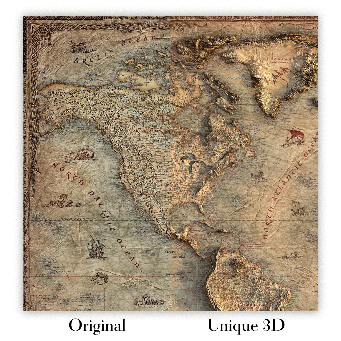
For something truly unique, this map is also available in "Unique 3D", our trademarked process that dramatically transforms the map so that it has a wonderful sense of depth. We combine the original map with detailed topography and elevation data, so that mountains and the terrain really "pop". For more info and examples of 3D maps, check my Unique 3D page.
No. 11: Guanajuato, issued in 1922 by the Dirección de Estudios Geográficos y Climatológicos of the Secretaría de Agricultura y Fomento, is a lucid, modern portrait of one of Mexico’s most storied states. Prepared for the Atlas geográfico de la República Mexicana (1919–1921), the sheet fuses scientific exactitude with quiet artistry: color is deployed to distinguish boundaries and to bathe the shaded relief, while a precise 1:700,000 scale balances sweep and specificity. Roads, railways, rivers, lakes, settlements, and political divisions are all integrated into a single legible field, inviting both planning and reverie. The result is an authoritative synopsis of Guanajuato’s physical backbone and civic fabric at a pivotal national moment, when mapping underwrote modernization and helped knit the highland Bajío more tightly to the Mexican republic.
The project bears the imprint of Mexico’s new technocratic confidence. Chief engineers Ing. Sotero Prieto and Ing. Luciano López Sorcini coordinated the endeavor, aligning cartography with the Directorate’s climatological and agronomic missions. Their team translated field surveys and administrative records into elegant plates, with skilled zincographers—among them Antonio Hernández—ensuring crisp linework and faithful color separation. Within the Secretaría de Agricultura y Fomento, such mapping was more than a visual inventory; it was a tool for land reform, infrastructure investment, and the scientific management of water and soils in the decade after revolution. This Guanajuato sheet embodies that ethic, its measured typographies, calibrated tints, and exact delineations expressing a new standard for national atlases in Latin America, equal parts empirical atlas and emblem of statecraft.
Relief shading articulates the Sierra de Guanajuato and the undulating volcanic highlands that cradle the state, setting in relief the fertile Bajío plain that unfurls toward Irapuato, Celaya, and Salamanca. Hydrography is rendered with the same care: rivers trace purposeful paths—the Lerma along the south, the Laja near San Miguel de Allende, and the Turbio threading past León—converging into basins that have long anchored irrigation and millworks. Lakes and reservoirs punctuate the landscape, their cartographic presence a reminder of seasonal cycles that preoccupied agronomists and engineers alike. The color model subtly grades elevation and demarcation without sacrificing clarity, so watersheds, ridgelines, and passes can be read at a glance. It is a physiographic lesson as much as a map, captured with restraint and precision.
Across this terrain the arteries of movement are plotted with unsentimental candor. Railroads stitch Guanajuato to the national grid, their routes marching through León, Irapuato, Celaya, and Acámbaro, while spurs serve mining towns and agricultural depots. An equally attentive web of roads—major trunks and minor byways—links the capital Guanajuato with San Miguel de Allende, Pénjamo, Salamanca, and a constellation of smaller settlements. Political organization is made immediately legible: municipal boundaries, town seats, and jurisdictional lines nest within the state frontier, clarifying how governance overlays geography. The naming conventions, hierarchies of symbol size, and clean labeling lend navigational utility without crowding the page. Commerce, pilgrimage, and administration are all implied in these itineraries, making visible the lived connectivity of the Bajío in the early twentieth century.
Issued within a series that also featured geological companions, No. 11 invites comparison between landforms and substrata, a dialogue prized by the Directorate’s scientists and by planners anticipating dams, roads, and rail alignments. Modest decorative flourishes and considered color harmonies situate the sheet within the cultured visual language of the Atlas geográfico, while the content nods to Guanajuato’s deeper narratives—silver cities and Franciscan towns, insurgent corridors and market gardens—which the network of rails, roads, and rivers quietly discloses. To study it is to watch cultural heritage mapped onto terrain: colonial cores, modern workshops, and fertile valleys all set against the sienna of high ridges. The page is at once a contemplative panorama and a working instrument, capturing a state in poised transition.
Cities and towns on this map
- Guanajuato (modern-day population approximately 190,000)
- Irapuato (modern-day population approximately 215,000)
- Salamanca (modern-day population approximately 130,000)
- Leon (modern-day population approximately 2,000,000)
- San Miguel de Allende (modern-day population approximately 160,000)
- Pénjamo (modern-day population approximately 60,000)
- Acámbaro (modern-day population approximately 45,000)
- Celaya (modern-day population approximately 400,000)
Notable Features & Landmarks
- Topography: Shaded relief showing elevation changes across Guanajuato.
- Road Network: Detailed representation of major and minor roads, essential for navigation.
- Railroads: Clearly indicated rail line routes connecting various regions.
- Water Bodies: Representation of rivers and lakes, contributing to the geographic understanding of water resources.
- Boundaries: Political boundaries marked, indicating town and county divisions.
- Settlements: Various towns and cities labeled with their respective names.
- Geologic Maps: Accompanies geological maps alongside the relief map for comprehensive analysis.
- Cultural Illustrations: Decorative elements and maps that enhance cultural context.
Historical and design context
- Publication Details: Created by the Direccion de Estudios Geograficos y Climatologicos, Secretaria de Agricultura y Fomento in 1922.
- Collection Context: Part of the "Atlas geografico de la Republica Mexicana," covering years 1919-1921.
- Mapmaker Information: Coordinated by chief engineers, including Ing. Sotero Prieto and Ing. Luciano Lopez Sorcini, with contributions from zincographers like Antonio Hernandez.
- Design Style: The use of color to indicate relief features and boundaries adds both aesthetic and practical navigation functionality; the map features a clear scale (1:700,000).
- Historical Significance: Reflects the geographic understanding and cartographic practices of early 20th-century Mexico, merging artistic elements with scientific data, illustrating the region's cultural heritage.
Looking for a particular place? Review the detailed images to confirm that the town, landmark or feature you have in mind appears on the map. If you are unsure, ask our workshop to check before you order.
Detailed maps are especially rewarding at larger sizes, where names, boundaries and decorative features have more room to be appreciated. Use the close-up preview and size guide to choose the right scale for your wall.
This map looks amazing at sizes all the way up to 70in (180cm). If you are looking for a larger map, please get in touch.
The model in the listing images is holding the 16x20in (40x50cm) version of this map.
Where personalisation is available, you can add a short title or dedication, mark one meaningful place, or request one considered visual detail. See personalised map examples.
Every piece is printed to museum-grade archival standards using fade-resistant pigment inks on acid-free matte paper. Choose an unframed map print, framed map or canvas using the finish options above. Framed maps use crystal-clear optical acrylic and arrive ready to hang.
With its rich detail and strong sense of place, this map makes a considered gift for a new home, anniversary, retirement or anyone with a personal connection to the area shown. Still deciding? Explore our collection of rare old and vintage maps to discover another place, period or style.
This map is also available as a float framed canvas, sometimes known as a shadow gap framed canvas or canvas floater. The map is printed on artist's cotton canvas and then stretched over a handmade box frame. We then "float" the canvas inside a wooden frame, which is available in a range of colours (black, dark brown, oak, antique gold and white). This is a wonderful way to present a map without glazing in front. See some examples of float framed canvas maps and explore the differences between my different finishes.
For something truly unique, this map is also available in "Unique 3D", our trademarked process that dramatically transforms the map so that it has a wonderful sense of depth. We combine the original map with detailed topography and elevation data, so that mountains and the terrain really "pop". For more info and examples of 3D maps, check my Unique 3D page.
Molte delle nostre mappe e stampe d’arte vengono scelte come regali premurosi per case, uffici, studi e luoghi significativi.
Scegli un’opzione incorniciata per il regalo più semplice, pronto da appendere, oppure scegli una stampa non incorniciata se il destinatario preferisce selezionare la propria cornice.
Realizziamo gli ordini localmente in 23 paesi in tutto il mondo, così i regali possono spesso essere prodotti vicino al destinatario. Questo li aiuta ad arrivare più rapidamente, a viaggiare in maggiore sicurezza e a evitare sorprese legate a dazi doganali o di importazione.
- Possiamo consegnare direttamente al destinatario
- I pezzi incorniciati arrivano pronti da appendere
- Le stampe non incorniciate sono accuratamente imballate in un robusto tubo protettivo
- Quasi ogni ordine viene realizzato localmente, per regali più rapidi e sicuri
- Il reso entro 90 giorni dà al destinatario il tempo di decidere
Se non sei sicuro di cosa scegliere, ti invitiamo a contattarci. Possiamo aiutarti a scegliere la mappa, il formato, la finitura o l’opzione di consegna più adatti.
Most orders are made locally and delivered in around 2–3 working days, depending on the product, size and destination.
We print and frame maps and artwork in 24 countries around the world, so your order is usually made close to you or your recipient. That means faster delivery, less time in transit, and no customs or import duty surprises.
Personalised and customised pieces usually take an extra 1–2 working days, because we prepare your design and send it to you for approval before printing.
Very large framed orders can take a little longer, as they need extra care in production and delivery.
Every order is carefully packaged: unframed prints are sent in a strong protective tube, while framed pieces are securely packed with protective materials around the frame.
If you need your order by a particular date, please contact us before ordering. We’ll check the best production route and delivery option for your location.
Express delivery is available at checkout for most countries. Next-day delivery is available in the UK, US, Singapore and the UAE.
Your order is covered by our 90-day returns policy and 10-year guarantee.
Our standard frame is a gallery-style black ash hardwood frame, with a simple, modern look. It is approximately 20mm (0.8in) wide. You can also view some lovely customer photos of framed maps and art.
We use super-clear acrylic glazing, also known as Perspex or Acrylite, instead of traditional glass. It is lighter, safer, and has lower reflectivity, giving the artwork a clearer, cleaner appearance.
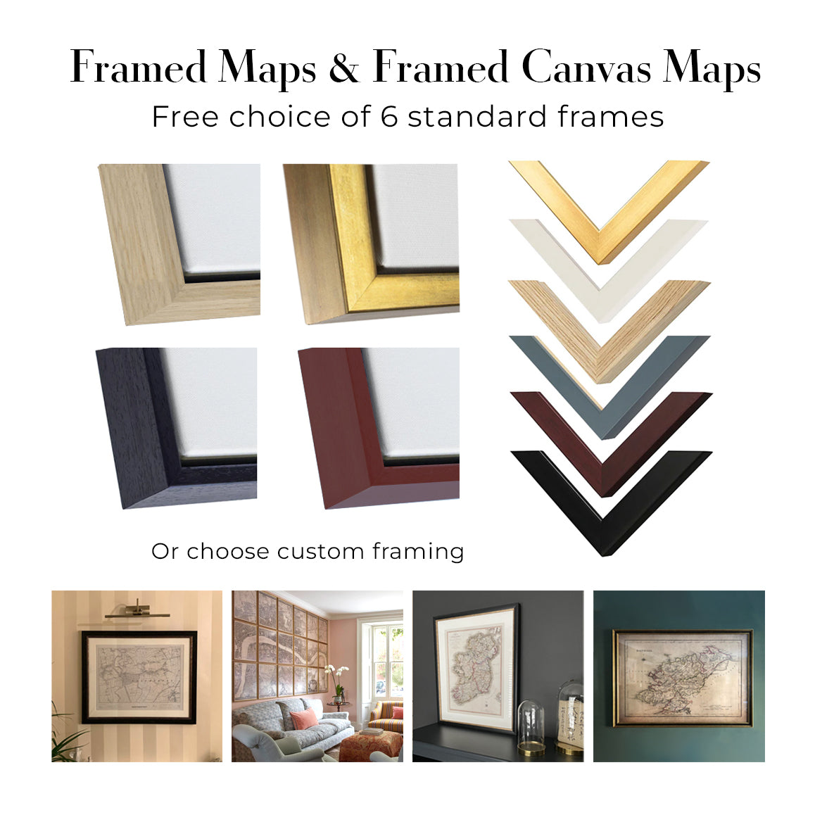
Six standard frame colours are available at no extra cost: black, dark brown, dark grey, oak, white, and antique gold. Custom framing and mounting/matting is also available for customers looking for something more specific.
Most maps, art prints, and illustrations are also available as a framed canvas. We use matte cotton canvas, stretch it over a sustainably sourced wooden box frame, and then float the piece within a wooden outer frame. The finished result is beautifully presented, with no glazing between you and the artwork.
All frames are supplied ready to hang, with either string or brackets fitted to the back. Very large frames will include heavy-duty hanging plates and/or a mounting baton. If you have any questions, please get in touch.
We can also supply old maps and artwork on canvas, foam board, cotton rag, and other materials.
If you would prefer to frame your map or artwork yourself, please read our size guide before ordering.
Lavoriamo con interior designer, strutture ricettive, professionisti del settore immobiliare, uffici e acquirenti aziendali su singoli pezzi e su progetti coordinati di più ampia portata.
Questa mappa può essere adattata a una particolare parete, stanza o progetto, e il nostro laboratorio può aiutare a coordinare dimensioni, materiale e incorniciatura prima della produzione.
- Dimensioni precise, extra-large e su misura
- Incorniciatura, montaggio e materiali alternativi personalizzati
- Pezzi coordinati per più stanze o sedi
- Personalizzazione della mappa, per evidenziare luoghi importanti o aggiungere dettagli supplementari
- Consulenza su mappa e incorniciatura dal nostro laboratorio
- Produzione locale per progetti in tutto il mondo
Every Unique Maps piece begins with an authentic cartographic source or an original design from our London studio.
For our historic maps, we source rare originals from libraries, archives, auction houses and private collections around the world. We carefully restore each map for print—repairing age-related damage, balancing colour and improving clarity while preserving its original detail, texture and character.
Once restored, the map is prepared for your chosen size and finish. Your piece is then printed and, where selected, framed close to its delivery destination.
Our map prints use acid-free 200gsm archival matte paper and fade-resistant pigment inks, creating a rich, non-glossy finish designed to last. Framed maps use crystal-clear optical acrylic and arrive ready to hang.
Canvas, cotton-rag and other specialist presentations are also available. Learn more about our materials and finishes.
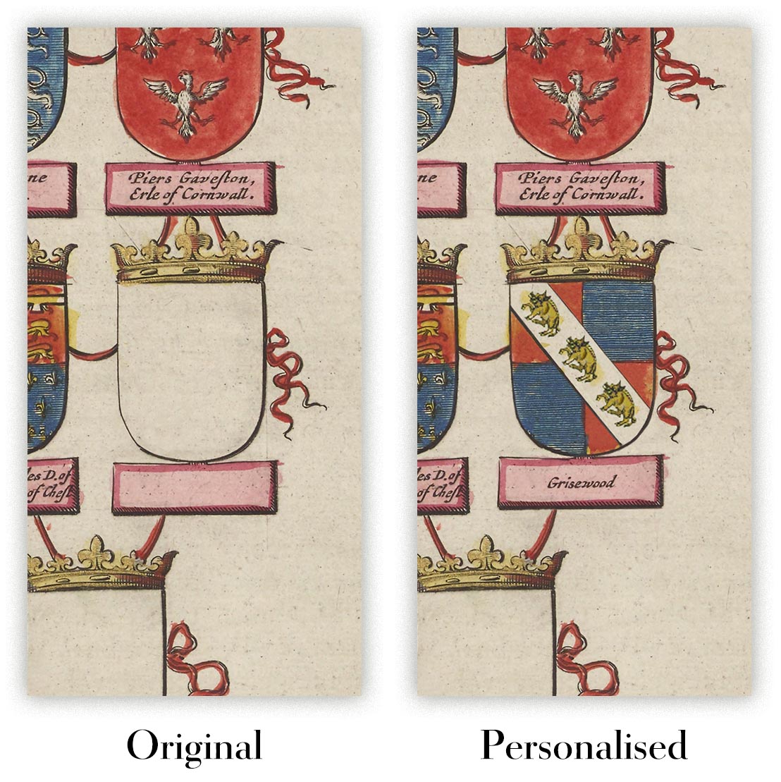
Personalising your map
You can add a short title or dedication, mark one meaningful place, or request one considered visual detail. For personalised designs, we send a proof before printing and you can request changes before approval.
For more complex bespoke commissions, contact our design team.
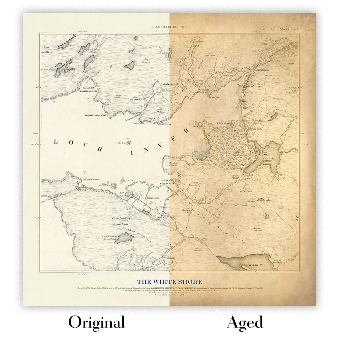
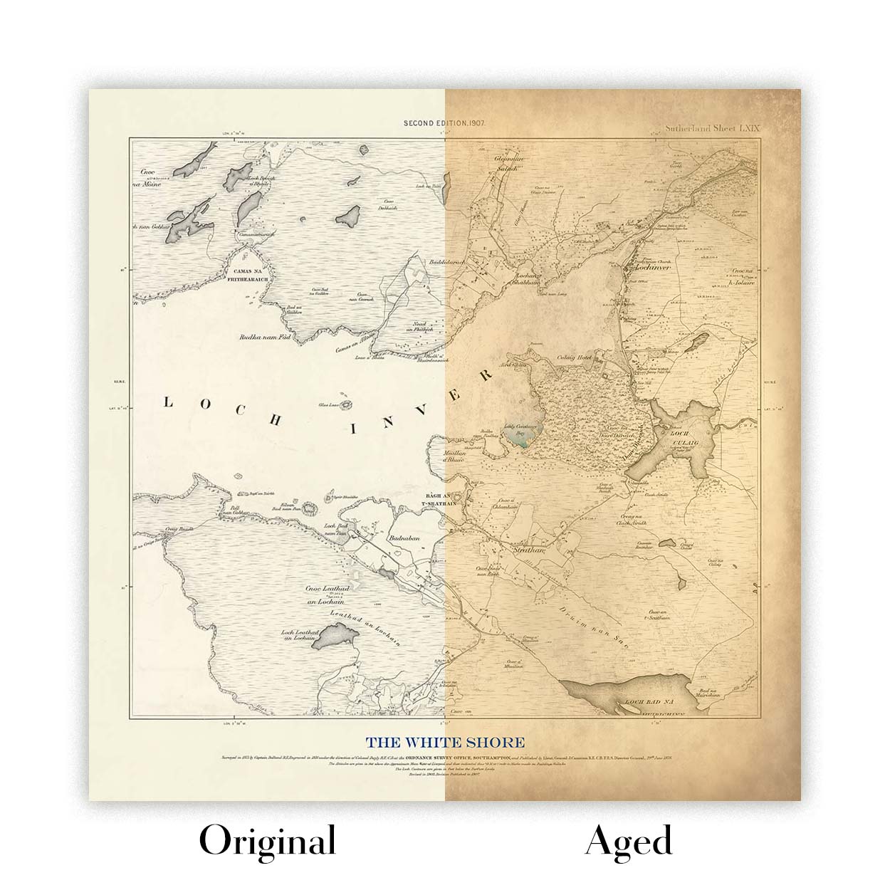
Original or Aged
Choose Original for true-to-source colour, or Aged for a warmer, richer antique character created with our specialist ageing process. See examples of our Aged maps.
Restauriamo e produciamo mappe e stampe d’arte dal 1984, e garantiamo personalmente ogni pezzo.
Ogni ordine è coperto dalla nostra garanzia di 10 anni e dalla garanzia di consegna senza danni. Se il vostro pezzo arriva danneggiato, lo sostituiremo o lo rifaremo gratuitamente. Se qualsiasi altro aspetto non fosse conforme, contattate il nostro team di laboratorio e provvederemo tempestivamente a risolvere il problema.
Per tutti i dettagli, consultate la nostra politica su resi e rimborsi.
Oppure cerca qualcosa nel negozio.


